Drone Roof Inspection in College Station, TX
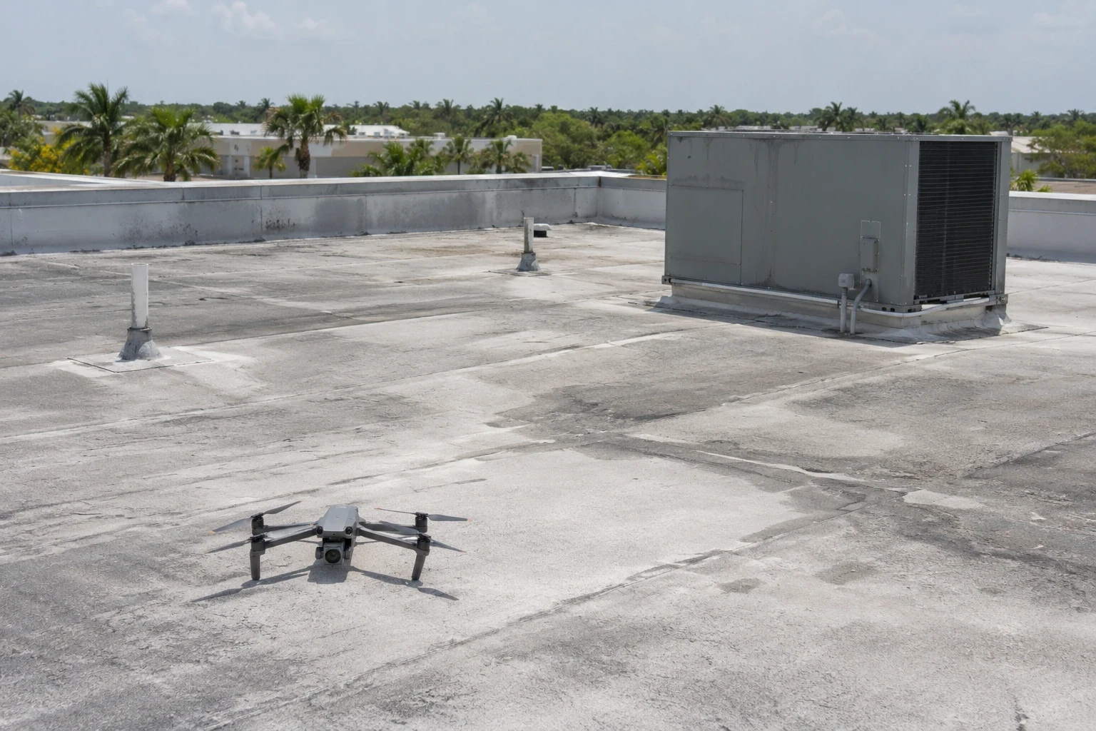
Drone Roof Inspection
Large distribution, manufacturing, and office roofs in College Station, TX can be difficult to review from a single ladder or hatch. Drone imaging provides an overhead view of roof areas, transitions, and equipment layouts, helping a facilities manager identify where closer attention may be useful. We plan the flight around site access, occupied space, nearby operations, and safe image capture. The imagery is organized to support a follow-up inspection, repair review, or asset comparison; the roof decision still comes from the evidence needed for the specific condition.
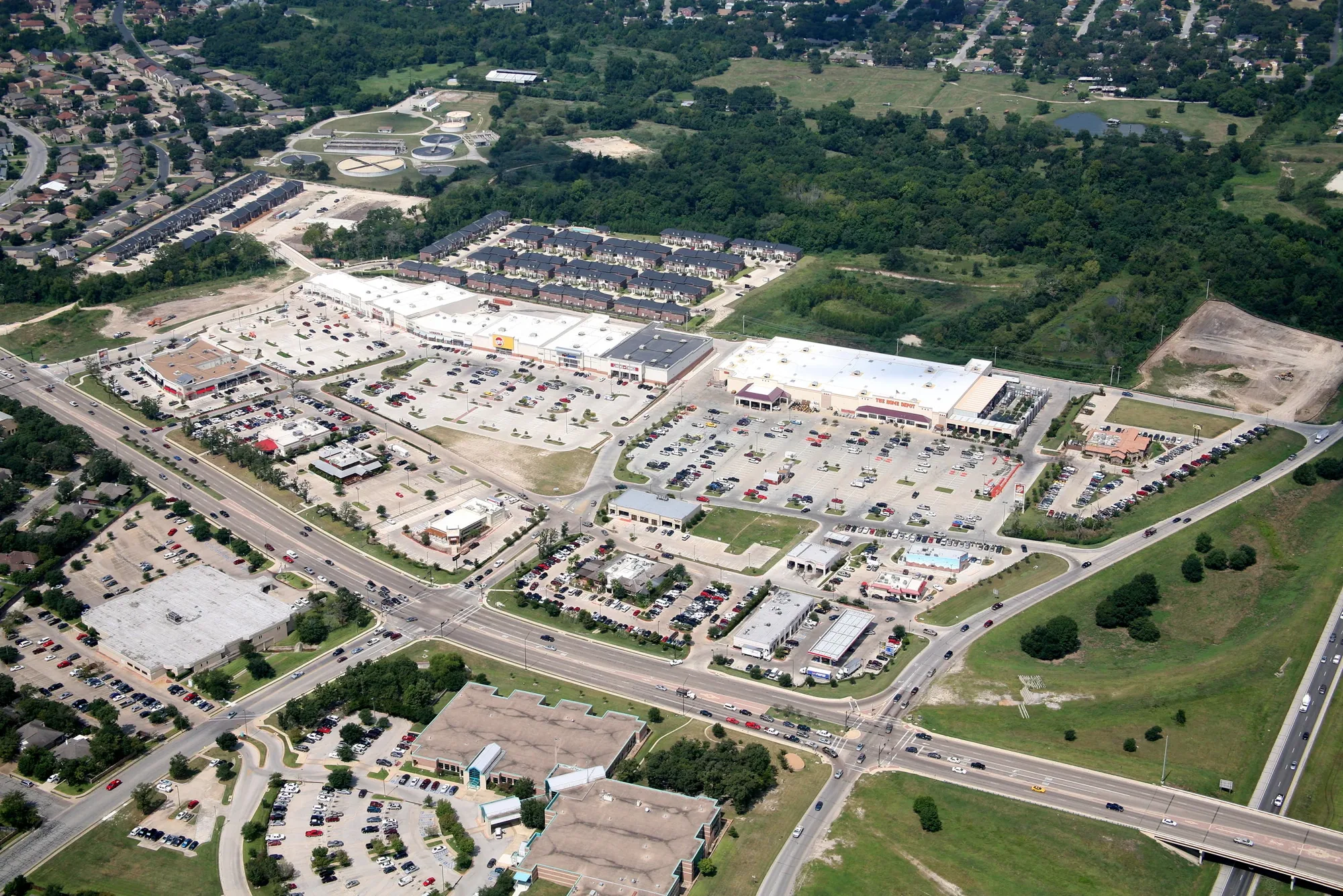
Choose the areas the flight needs to show
Before imaging, we review the roof plan if available, the reported concern, and the locations where access is difficult or visibility is limited. The flight can be planned to capture broad roof fields, separate sections, equipment clusters, perimeter conditions, and transitions between additions. A multi-building portfolio may need consistent views and naming so images can be compared across an asset record. A single building with a leak call may need closer capture around a reported curb, drain, or seam before a field visit.
We divide the image plan into identifiable roof zones and set an order that makes the final set easy to use. Each view should show enough surrounding detail to locate the equipment, edge, or transition under review. If a roof plan uses different section labels than the maintenance team, we note both names so later repair notes can be matched to the imagery. That preparation matters on a large roof where a close view without a location reference may be difficult to use.
Before takeoff, we check the planned overlap between neighboring frames, the image scale needed for the question, and whether glare or shadow could conceal a feature. We can capture an overview and then closer passes on marked sections. Those choices make the final image set more useful for side-by-side review and reduce the chance that a roof zone is missing from the record.
Read the roof from a useful angle
Aerial imagery can make layout and surface patterns easier to review. It may show open or displaced materials, standing water, debris accumulation, unusual patches, damaged accessories, or changes between roof areas. We organize the images by roof section and note visible conditions that should be checked in person. High-resolution views can also help a manager locate rooftop units and penetrations when preparing a repair visit, reducing time spent identifying where a concern sits on a complex building.
From above, a standing-seam metal roof and a membrane roof present different visible details. The imagery may reveal a displaced metal panel, lifted edge component, or surface patch, while seam weld integrity, flashing adhesion, and hidden moisture need an appropriate field check. We avoid calling a surface pattern a confirmed defect until a qualified inspection establishes the condition. Drone images are most useful when they direct the next question, identify a hard-to-reach area, or preserve a visual baseline for comparison with later photographs.
Use regional events to set a review window
A current image set can establish a visual baseline for roof areas that are difficult to access routinely. We record the capture date and view direction, then organize images by building and roof section so a later review can compare like areas. Differences between image sets may show a new patch, displaced material, debris buildup, or a changed equipment layout. Those observations direct a field question; they do not confirm hidden moisture or a failed seam by themselves.
Near the FM 2818 and Harvey Mitchell Parkway corridor, imaging can help a portfolio manager keep a consistent roof index across properties in Bryan and College Station. We label the building and section represented, flag views that need hands-on access, and note any restricted area that limited capture. If a visible pattern calls for closer review, a qualified inspection can establish the repair boundary and decide whether moisture testing is appropriate. This keeps the deliverable useful for maintenance planning without assigning a condition to an entire area from one aerial view.
Coordinate flight and roof access
Drone work requires site coordination even when no one needs to climb onto every roof section. We confirm the property contact, work window, launch point, areas with restricted access, and any tenant or production activity below the planned flight. If the site includes HVAC servicing, vehicle movement, research work, or deliveries, the imaging window should avoid conflicting with those operations. We also identify which areas will still require an on-roof visit, a ladder, or a separate access method. If a particular roof area is already scheduled for equipment work, we can capture it before the service crew arrives and leave a current visual reference with the asset record.
For buildings with security rules or controlled yards, the facility contact can arrange the route and escort needed for equipment and personnel. At larger industrial properties in Bryan, roof sections may sit near active transportation and loading areas, so imaging should be planned with the site's day-to-day movement. A hands-on roof inspection can follow where image review identifies a repair candidate or where close contact is needed to verify seams and flashing. We keep those steps tied to the question the asset manager needs answered.
Turn images into an asset reference
The deliverable should help a manager locate and discuss a roof condition. We label images by building and roof section, note the capture date, and describe visible patterns that warrant further review. When useful, we connect an image to a repair location or previous inspection note. That makes the collection more practical than a folder of unlabelled aerial photos, especially when a site has several additions or multiple property contacts.
Drone imaging can contribute to a roof condition report that includes inspection notes, repair priorities, and recommended follow-up. If the area of concern appears to involve moisture beneath the surface, an infrared moisture survey or test cut can supply information imagery cannot show. Managers can pair the image set with repair history and planned capital timing, then use a roof repair visit for details that need field correction. The resulting record gives the next inspection a comparable visual starting point.
Commercial Roofing Questions
Can drone images replace a hands-on inspection?
They provide an aerial visual record and help identify areas for closer review. Seam integrity, flashing adhesion, and concealed moisture may require a field inspection or test. We organize the follow-up around the condition the images raise.
Which roof conditions are visible from a drone?
Images may show surface changes, debris, ponding, patches, displaced accessories, and layout relationships. The flight can help locate an area for inspection, though some material or attachment conditions need close examination. We label visible findings and state where further access would add useful evidence.
Can you image several buildings in one visit?
We can plan capture across multiple roofs when access, site rules, weather, and flight operations allow it. The building contact helps identify the intended areas, restricted zones, and operating movements. We label each image group so the property team can connect it to the correct asset record.
Do storm reports tell you what a drone should look for?
They can help set the review date and locate earlier property records. We use current imagery to document visible conditions and compare them with available photos or work orders. The inspection does not assume a roof was damaged because an event occurred nearby.
What should be ready before drone imaging?
Provide the site contact, roof plan if available, access instructions, restricted areas, occupied hours, and any concern that should guide the flight. We confirm the launch location and image route with the facility team. Areas needing contact or testing can be scheduled for follow-up inspection.
Plan a roof imaging visit
Share the roof plan, property access rules, occupied hours, equipment or delivery activity, and areas that need review. We can organize a drone flight and identify where hands-on follow-up would be useful.
Related Roofing Work
Request a Roof Assessment
Tell us about the building, the roof and what you are seeing. We look at leaks, storm and wind damage, aging membranes and planned replacements on commercial properties across College Station, Bryan and Brazos County.